 Image 1 of 1
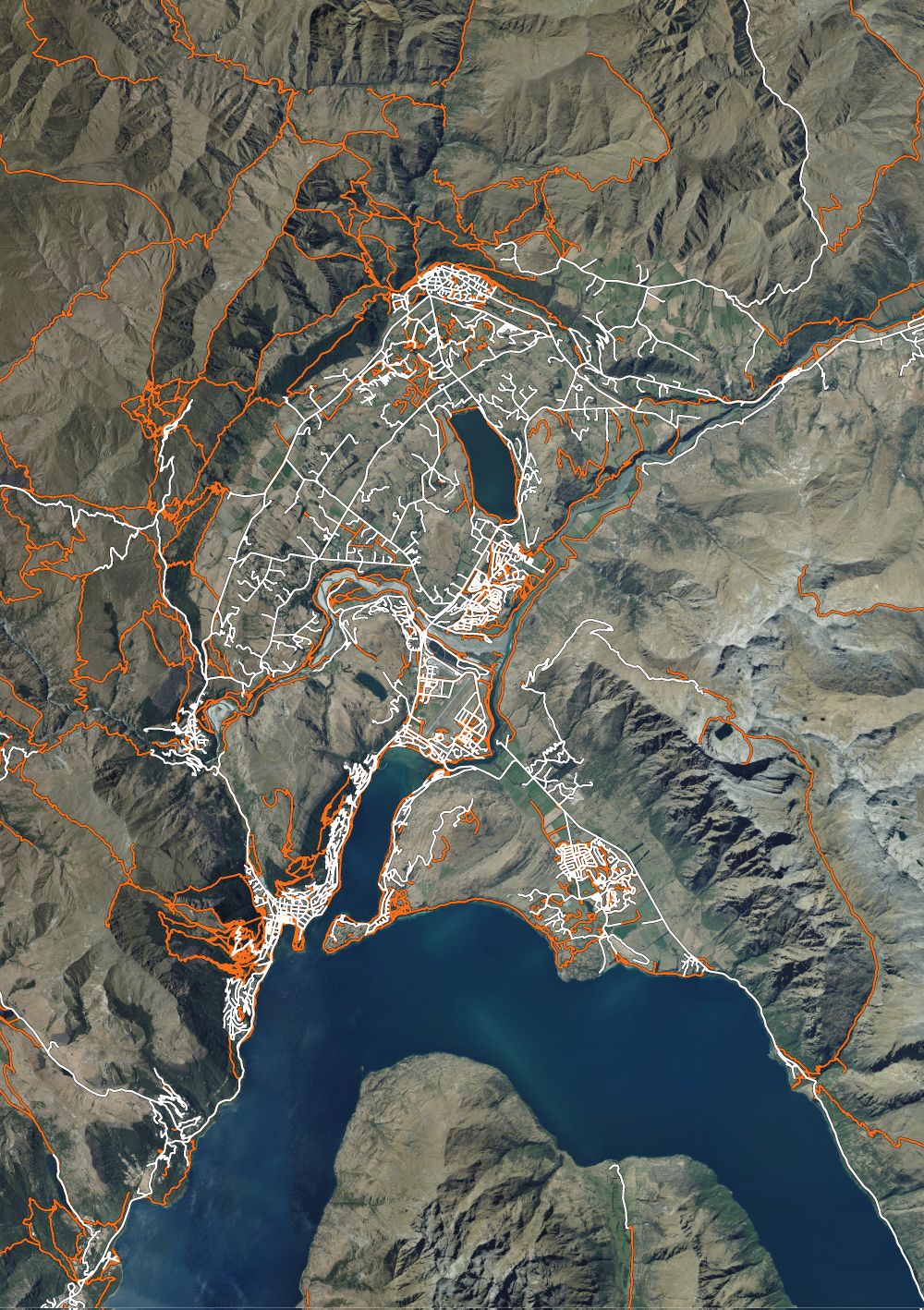
I made this by combing high resolution detailed aerial photography of the region with trail mapping from multiple mapping sources. This map shows a closer up view of the trails surrounding Queenstown CBD, including Arrowtown and the Remarkables.
I made this by combing high resolution detailed aerial photography of the region with trail mapping from multiple mapping sources. This map shows a closer up view of the trails surrounding Queenstown CBD, including Arrowtown and the Remarkables.