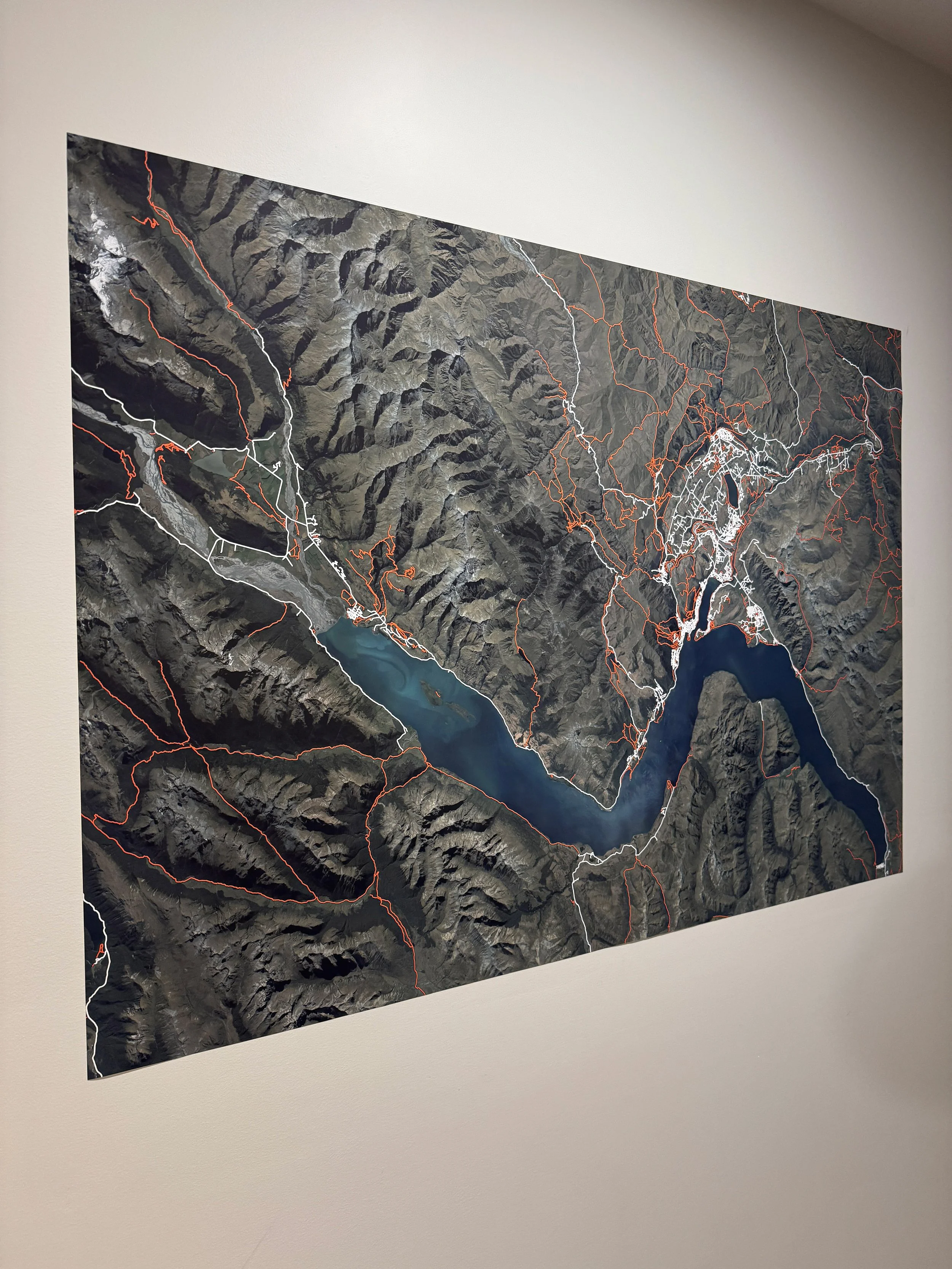
For your wall, your heart, and your adventures.
Designed and printed locally. Beautiful aerial photos filled with trails to plan your next adventure, or reminisce on your last.
Zoom right in. Super high resolution.
You might even be able to see your house from here (no promises).
Choose yours
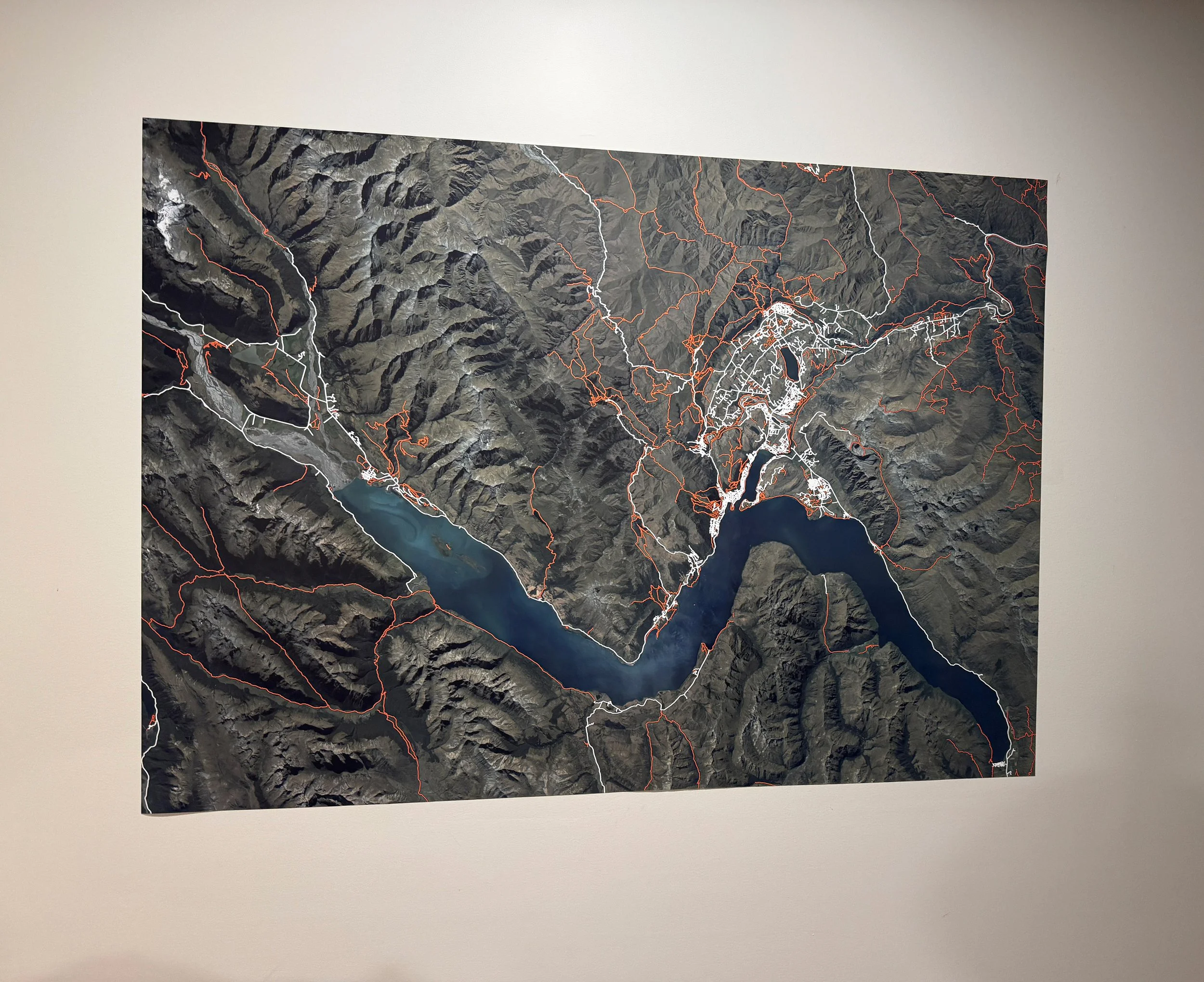
Wakatipu Lake Trails
from $79.00
I made this by combing high resolution detailed aerial photography of the region with trail mapping from multiple mapping sources. This map shows the Wakatipu Lake, including Queenstown, Arrowtown, Glenorchy, and Kinloch.
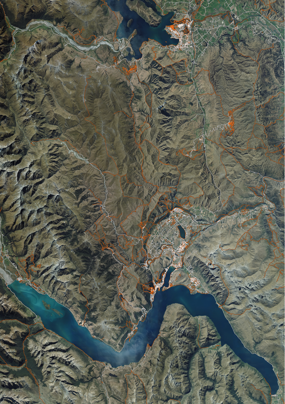
Queenstown to Wanaka
from $79.00
I made this by combing high resolution detailed aerial photography of the region with trail mapping from multiple mapping sources. This map shows the Queenstown region flowing over to Wanaka, with the trails in between.
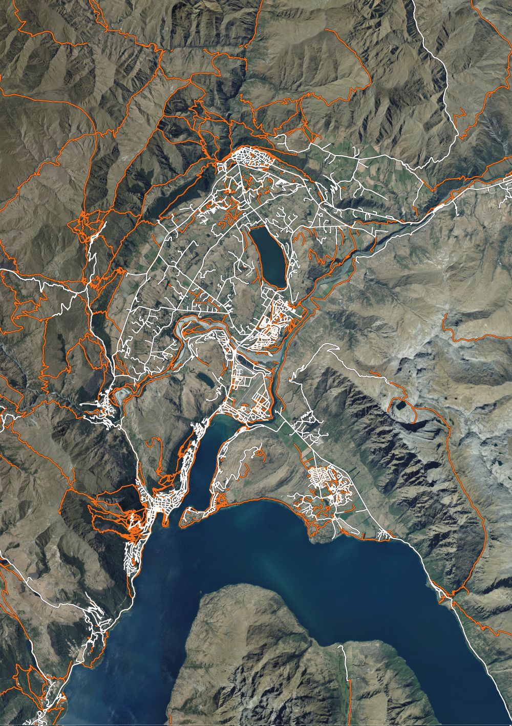
Queenstown Trails
from $79.00
I made this by combing high resolution detailed aerial photography of the region with trail mapping from multiple mapping sources. This map shows a closer up view of the trails surrounding Queenstown CBD, including Arrowtown and the Remarkables.